This Ancient Map Reveals A Mind-Boggling Secret0
- Ancient Archeology, From Around the Web
- January 6, 2017
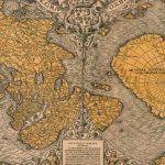
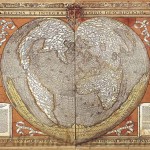
Ottoman cartographer Piri Reis’ five-hundred-year-old map accurately explores the coast of Antarctica and provided amazing information about 2000 ports and cities in the Mediterranean sea. It also explores the western coasts of Europe and North Africa and the eastern coast of South America.


